Cherokee-Seneca Boundary
Cherokee-Seneca Boundary
Cherokee-Seneca Boundary
The east west line here, sec 26, is the old boundary between Cherokee and Seneca nations, the land north of this line was owned under patent by the Seneca of Sandusky, Ohio, by treaty of 1831. The land here south of the line was owned by the Cherokee by treaty of 1828.
Oklahoma Historical Society 154-1995.
Location
Directions
North of Grove, Oklahoma on west side of U.S. Highway 59 before you get to the bridge. Just south of 98th St NW.
Regions
Maps
- 36.62463812687462, -94.81516063213348
- OpenStreetMap
- Google Maps
- Bing Maps
- Apple Maps
- MapQuest
Pictures

Notes
* GPS from other source.

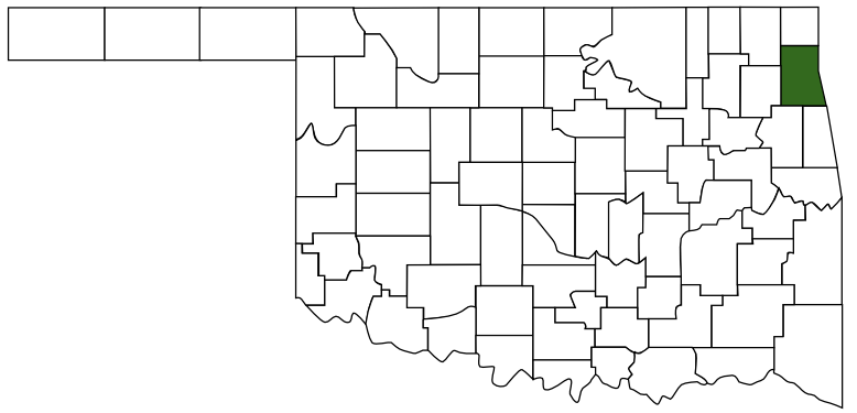
 Delaware County
 Green Country
 Oklahoma